An undergraduate student at the University of Alberta created a map of travel restrictions and road closures in Canada's North in an effort to document how Indigenous and remote communities are responding to the COVID-19 pandemic.
"Indigenous communities especially have had the motivation, the authority and the geographic position to take fast and decisive action to restrict access to their communities," said Alex McPhee, co-lead of the mapping project.
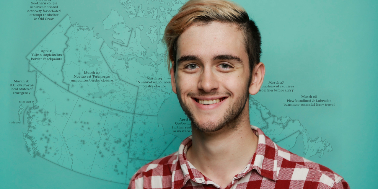
He noted that although many are familiar with the effects of the COVID-19 pandemic on the Canadian border, the virus is having a serious impact on travel within the country as well. Responses in remote communities have varied greatly, from construction of checkpoints and roadblocks in some regions to orders for travellers to self-isolate on arrival.
With many sources of community-specific information across the country, it can be difficult to get a complete view of these restrictions across Canada, added McPhee.
"Freedom of movement is easy to take for granted here in urban Canada, but our normal state of affairs-where you can jump in your car and travel anywhere you want-is becoming increasingly abnormal during the pandemic."
McPhee is working on the project alongside U of A political science alumnus Samuel Dyck, who lives in Inuvik, N.W.T.
McPhee systematically gathers information from local news aggregators, websites, community Facebook pages and reports from individuals. He and Dyck then compile the information and visualize it on a map of Canada they update daily as new restrictions are put in place.
"Facebook bulletins and online materials can be very ephemeral, so we hope to put something together that will be of long-term value to the historical record in tracking these efforts," said McPhee, noting that some communities have taken drastic measures to forbid all entry and exit.
"In places with no regular road access, ice roads have been intentionally demolished and passenger air service has been severely restricted.
"The far-reaching and proactive measures taken by these communities, going well above and beyond what we see from many larger governments, and strongly motivated by a desire to protect the oldest and most vulnerable, is something that other Canadians-and perhaps the entire world-should pay attention to."
McPhee is exploring ways to host the map and data online-but in the meantime, he said his data sources are available by request, and he encourages all community members or interested parties to contact him directly about requests, updates or errors.